 Paikkatietohakemisto
Geographical names
Type of resources
Available actions
Topics
Keywords
Contact for the resource
Provided by
Years
Formats
Representation types
Update frequencies
Service types
Scale
-
NLS-FI INSPIRE Geographical Names Theme Dataset is a dataset depicting the Named Places and Geographical Names covering the whole of Finland. It contains the following INSPIRE feature types: NamedPlace The elements are updated weekly. The dataset is based on the Geographic Names Register of the National Land Survey of Finland: http://www.paikkatietohakemisto.fi/geonetwork/srv/fin/catalog.search#/metadata/eec8a276-a406-4b0a-8896-741cd716ade6 The dataset is available via the NLS-FI INSPIRE Download Service (WFS) for Geographical Names Theme and it can be viewed via the NLS-FI INSPIRE View Service (WMS) for Geographical Names.
-
NLS-FI INSPIRE View Service for Geographical Names Theme is an INSPIRE compliant Web Map Service. It contains the following harmonized INSPIRE map layers: NamedPlace. The service is based on the Geographic Names Register of the National Land Survey of Finland. The dataset is administrated by the National Land Survey of Finland.
-
NLS-FI INSPIRE Download Service (WFS) for Geographical Names Theme is an INSPIRE compliant direct access Web Feature Service. It contains the following INSPIRE feature types: NamedPlace. The service is based on the Geographic Names Register of the National Land Survey of Finland. The dataset is administrated by the National Land Survey of Finland.
-
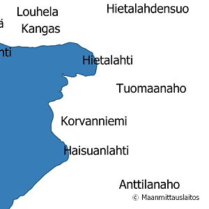
National Land Survey's geographic names are available as interfaces and files. Interfaces and file products comprise of place name products and map name products. The place name products include data about approximately 800,000 named places and their names in different languages. Data about place are among others place type, plane location and height above sea level, and data about names are among others the spelling that has been checked by the Institute for the Languages of Finland and language (Finnish, Swedish, Northern Sami, Inari Sami or Skolt Sami. In the place name products, every place and its name or names appear only once. The map name products contain the place names that have been selected for the National Land Survey's nine standard map products and information about the cartographical presentation of them. The information includes the location of the name on the map, for instance the coordinates of the left lower corner of the map text, the direction and bending of the text as well as typographical information, such as font type, size and colour. The name of a particular place, such as a river, can appear several times in the same map product. The product is a part of the open data of the National Land Survey.
-
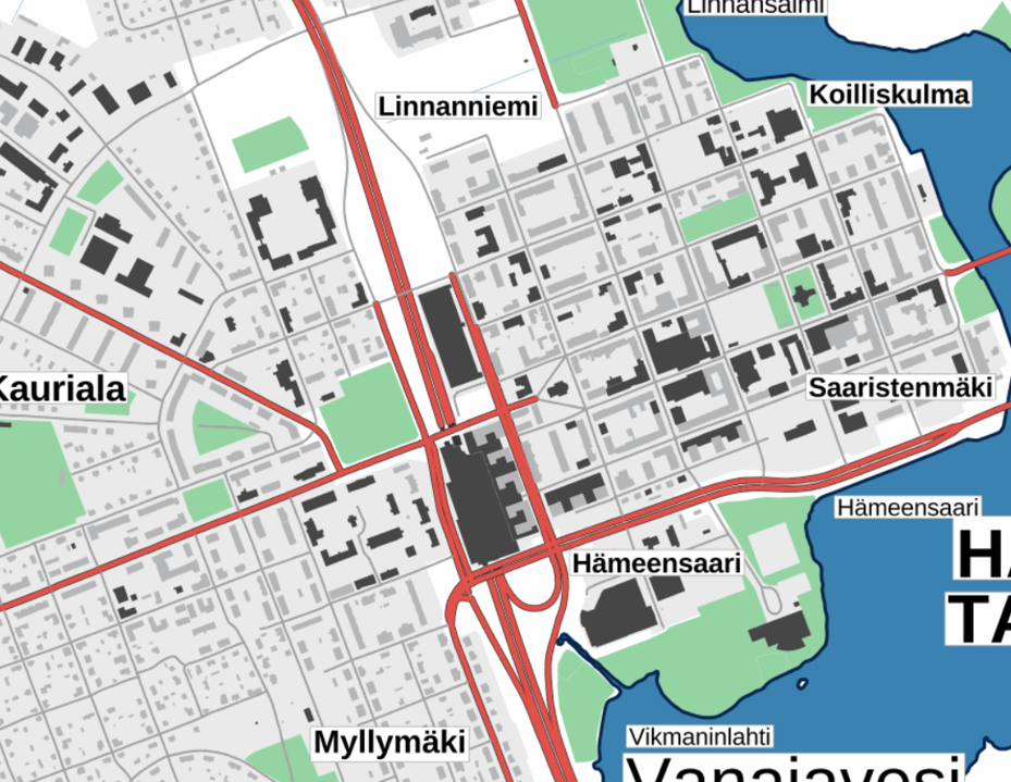
The Plain map series is a simple, plain and readable dataset product series in raster format that depicts the whole of Finland. The product is meant to be used as a background map whose character changes to a guide map in large scales. Impaired vision has been taken into account when designing the product. The key objects presented on the map are roads and railways, road names, buildings and constructions, administrative borders, waterways and other geographical names. The road network, public buildings and texts have been especially emphasised. The most usual limitations of colour vision have been taken into account in the use of colours. The product belongs to the open data of the National Land Survey of Finland.
-
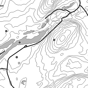
National Land Survey's Topographic map in vector format is a dataset depicting the terrain of all of Finland. The most important elements are the road network, administrative borders, preservation areas, population centres, geographic names, waterways, land use and elevation. The largest scale level (1:100,000) of the Topographic map in vector format is produced by generalising from the Topographic database. Topographic map 1:250,000 is produced by generalising the dataset 1:100,000. Topographic map 1:1,000,000 is produced by generalising the dataset 1:250,000. Topographic map 1:4,500,000 is produced by generalising the dataset 1:1,000,000. The geographic names have been generalised from the geographic names in the Geographic Names Register to map names suited to the scale in question. The administrative borders in the Municipal Division of each scale are used as administrative borders. The product belongs to the open data of the National Land Survey of Finland.
-
Tiedostopalvelun INSPIRE-syöte on Atom-syöte, jonka kautta on saatavilla Maanmittauslaitoksen tiedostoina ladattavat maastotieto- ja kiinteistörekisterikarttatietotuotteet. Aineistoja hallinnoi Maanmittauslaitos. Palvelun käyttö vaatii autentikointia eli tunnistautumista käyttäjätunnuksen ja salasanan avulla ja on avoimien aineistojen osalta maksutonta, muiden aineistojen osalta maksullista. Tunnuksen palvelun käyttöön voi tilata tilaustehtavat@maanmittauslaitos.fi -osoitteesta. Tunnuksen perustaminen on maksullista.
-
Palvelun kautta saa käyttöön ajantasaiset rasterimuotoiset perus-, maasto- ja yleiskartat sekä ilmakuvat. Palvelu on tarkoitettu WMTS-standardia tukevien sovellusten käyttöön. Lisätietoja: https://www.maanmittauslaitos.fi/karttakuvapalvelu https://www.maanmittauslaitos.fi/karttakuvapalvelu/tekninen-kuvaus-wmts Avointa palvelua voi käyttää API-avaimella. Sopimuspalvelun käyttö on maksullista ja vaatii käyttäjätunnuksen ja salasanan.
-

Paikkatietohakemisto is a national metadata discovery service.